Vacation 2011 K2
Olympic Peninsula North and West -
Makah Indian reservation - Neah Bay - Hoh Valley - Forks - Rialto Beach - LaPush - WA
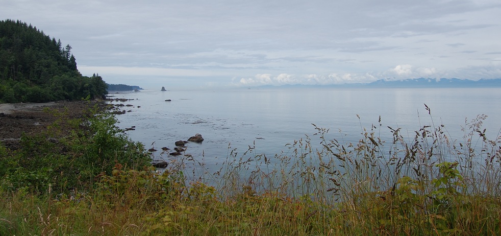
The Strait of Juan de Fuca. The mountains on the right are on Vancouver Island in Canada.
Note that the tide is out. The rocks by the beach would be covered at high tide.
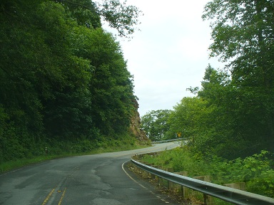
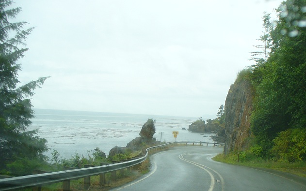
Hwy 112 on the way to Neah Bay
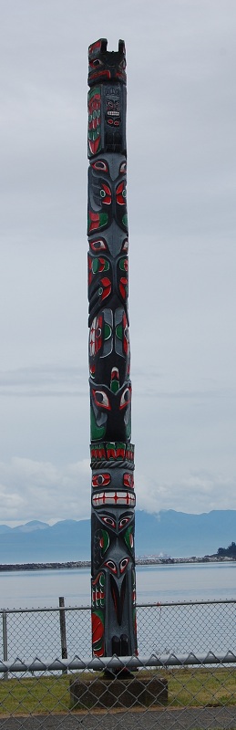
Totem pole at Neah Bay WA - Makah tribe.
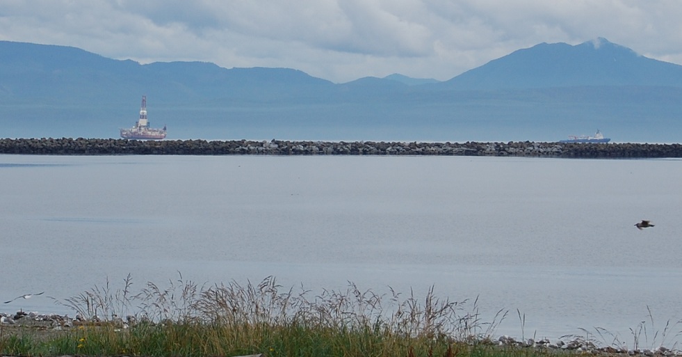
Drilling platform being towed by an ocean going tug in the Strait of Juan de Fuca.
A stone breakwater near Neah Bay WA in foreground. Mountains at the southern tip of Vancouver Island in background.
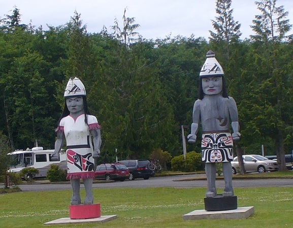
Figures in front of Makah tribal museum
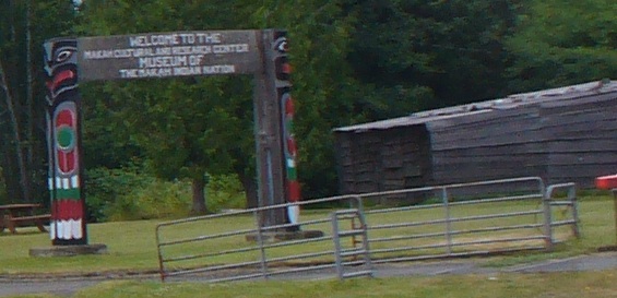
Makah museum sign - the building on the right is an example of a tribal family house
The boards are split from large logs. A fine full sized example is in the museum building proper
but no photography is allowed in the museum. The exhibits in the tribal museum are remarkably good.
We had the extreme good fortune to arrive just as a group of teenage girls were being given a tour
by an adult female tribal member who interpreted the exhibits, recounted the memories of her mother, and
explained the findings of a group of archeologists/anthropologists who excavated an ancient village which had been
covered by a mudslide... effectively sealing it off like a time capsule.
![]()
Makah tribal logo
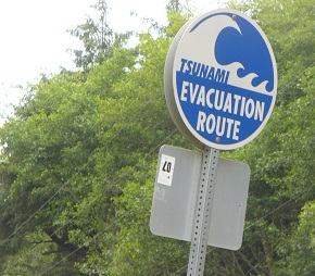
Tsunami evacuation route signs are seen in many coastal places.
Sensitivity to the problem was raised for the Makah by a high school teacher who did some research
and brought the problem to the tribal council. They are moving their school to higher ground so as not to be caught by one.
There are cabins and caches of supplies in high places so life can be sustained in evacuation places if a big one comes.
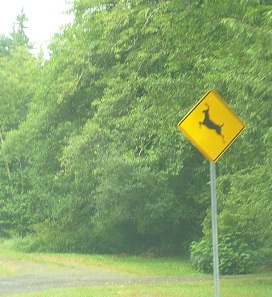
Lively deer crossing sign
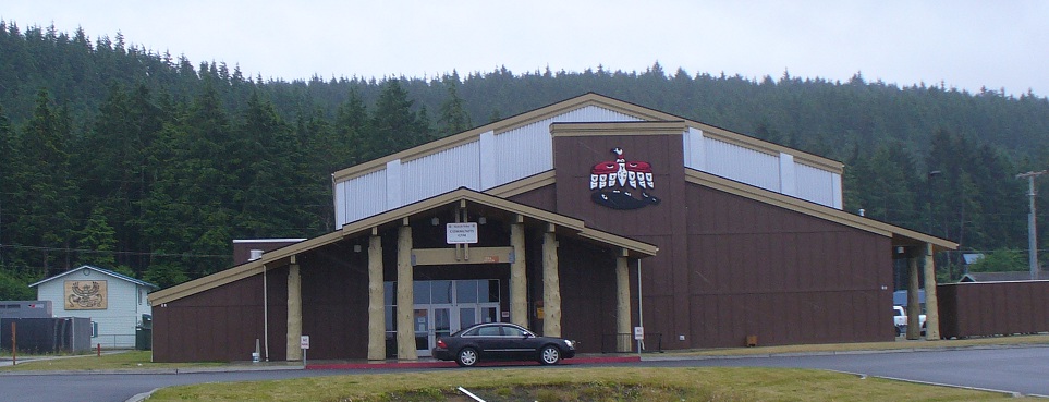
Tribal Gymnasium
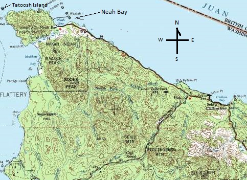
The northwestern corner of Washington State
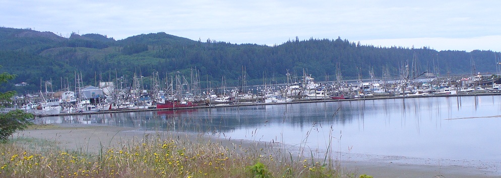
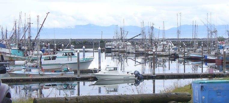
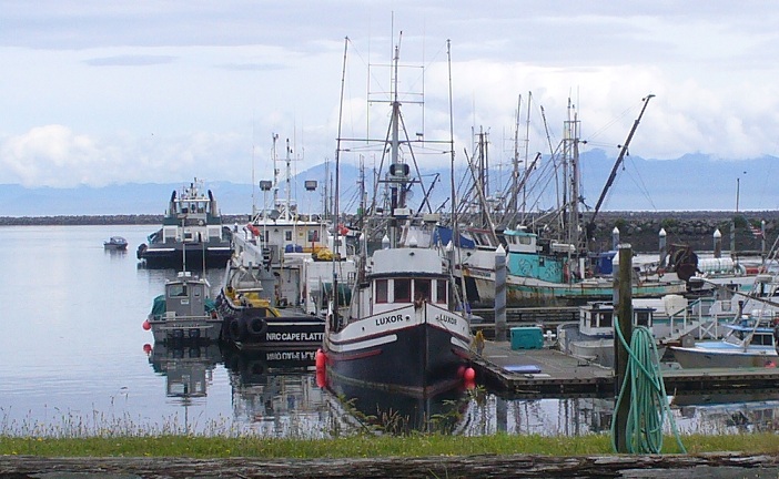
Neah Bay harbor fishing fleet
Looking north through the harbor - Mountains in background are on Vancouver Island, Canada.
 -
- 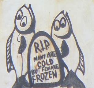
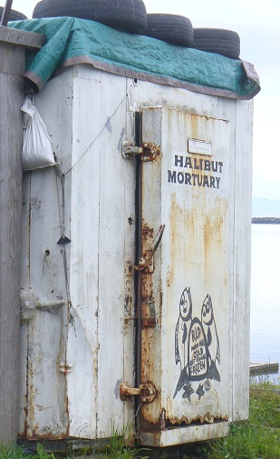
The fishermen of Nea Bay have a sense of humor.
-
~ ~ ~
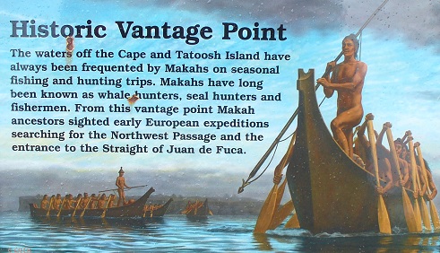
We drove out to the trailhead to Cape Flattery, the western-most place in the 48 contiguous States
and Tatoosh Island.
 -
- 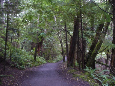
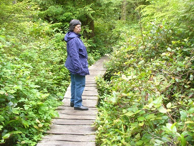
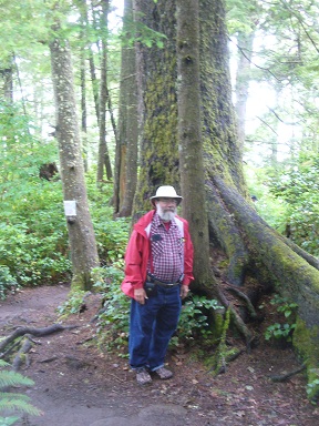
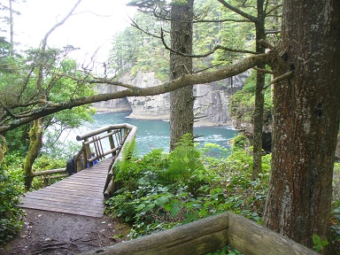
The trail to the point of Cape Flattery is heavily wooded.
 -
- 
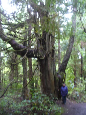
Some trees are big - some of the trail is stabelized by roots
 -
- 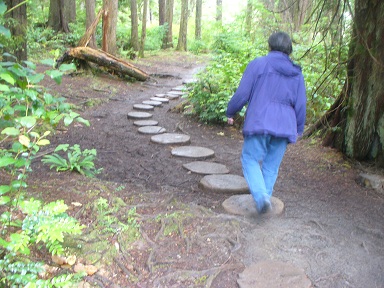
some of the trail is board-walked - some has stepping stones - it is too wet not to be protected, though it did not rain on us
 -
-
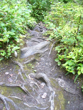
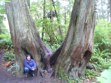
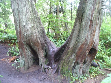
big trees with butressing roots -
 -
- 
-
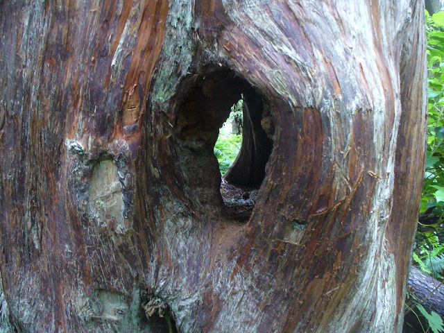
Tree with natural hole
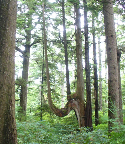
branches blown over reach for the sky
 -
- 
-
 -
- 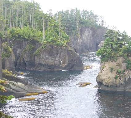
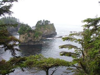
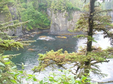
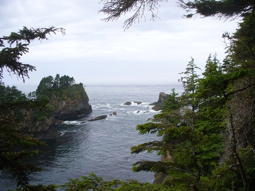
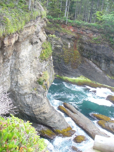
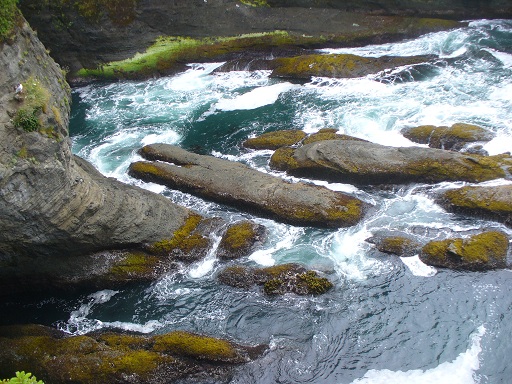
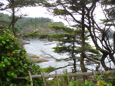
a high energy rocky coast gets carved with little bays
 -
- 
-
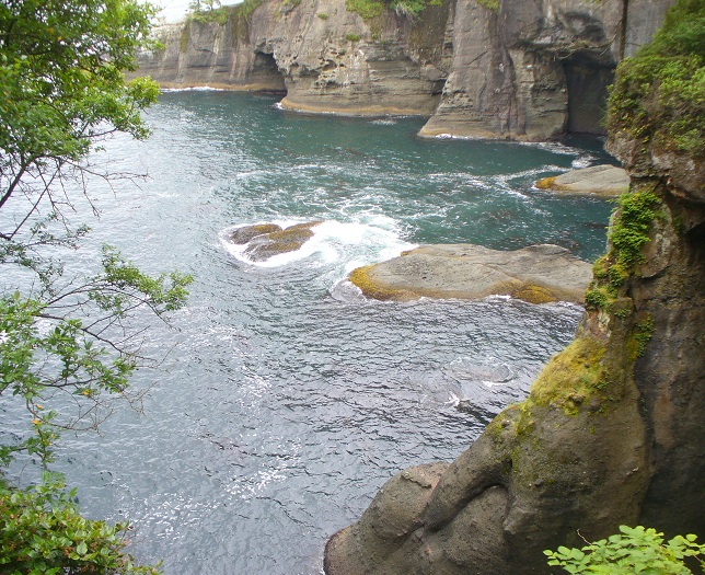
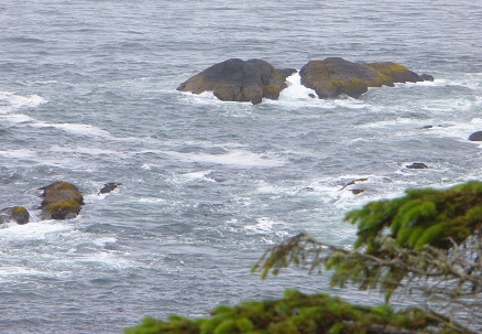
waves surge in and foam around rocks
 -
- 
-
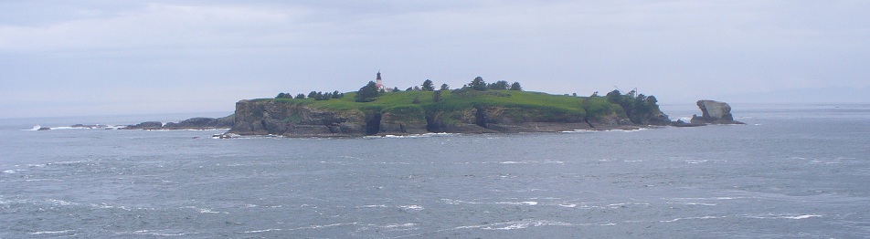
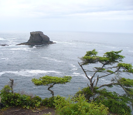
Tatoosh Island - summer home for the Makah tribe when hunting birds and whales
-
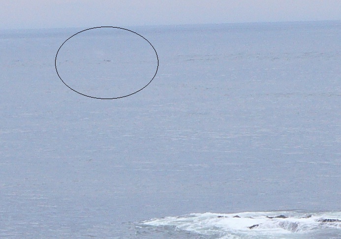
Whale spout - perhaps - to the South of Tatoosh Island where whales are commonly seen.
-
 -
- 
-
-
~ ~ ~
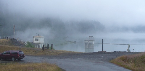
When we were doing the return drive the tide was up (in).
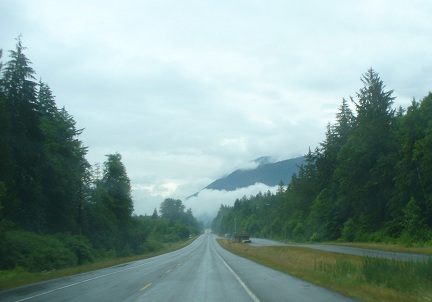
Highway 113 driving South returning to Elwah Valley
 -
- 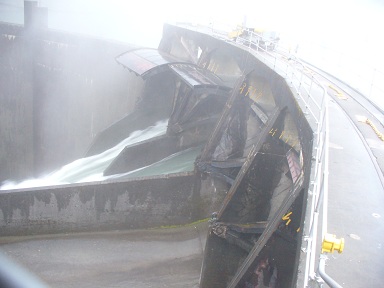
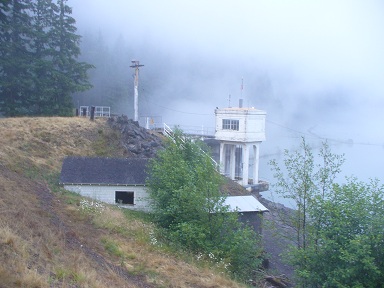
The Elwah dam which is being removed to return the river to wild state
and allow the salmon to make it upstream to breed.
-
Next page - Hoh valley - Forks - Rialto Beach - La Push