Vacation 2011 page F 2
46 days on the road
East Glacier National Park
Thursday - 5 July 2011
After breakfast headed out from the West Glacier KOA
Drove around the southern edge of the park over some very interesting road
and entered East Glacier at the St. Marys entrance.
Set up camp at the Going to the Sun campsite.
-
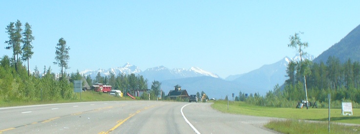
Highway 2 going around Southern edge of Glacier National Park
It Follows the Middle Fork of the Flathead River.
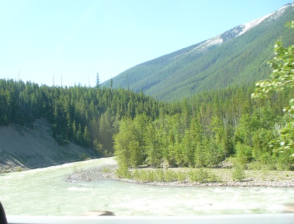
Flathead River near road.
Looking North into the Park
Roadwork on Hwy 2 - Weather good enough to do road maintenance is short
During the summer traffic sometimes backs up while repairs are done.
Of course it slows up the process getting from one place to another.
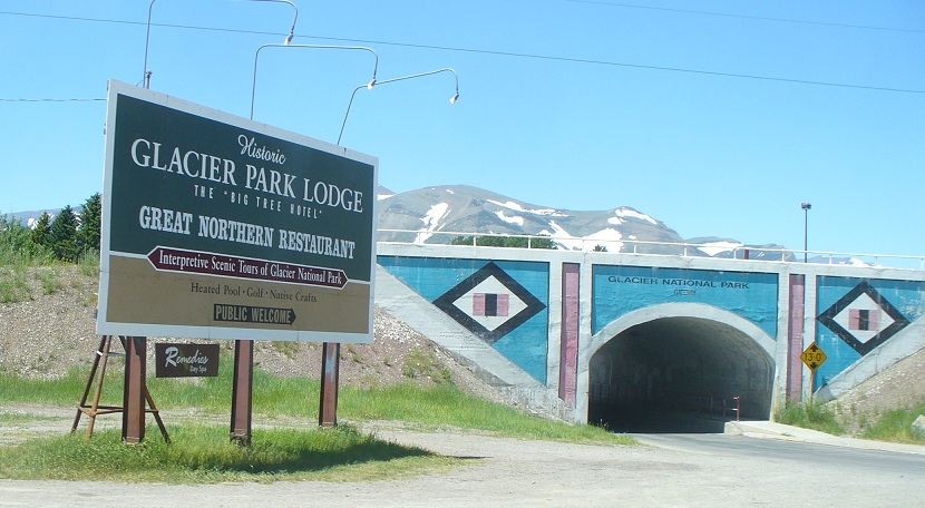
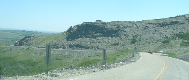
When we got to the village of East Glacier Park we cut North
under the Burlington Northern railroad line toward St. Mary on Hwy 49.
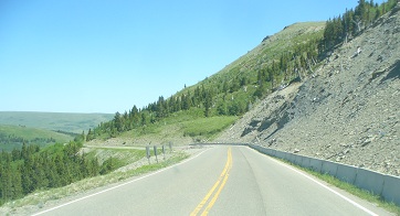
This road is fairly narrow, very curvy, with a mountain on one side and a steep drop off on the other.
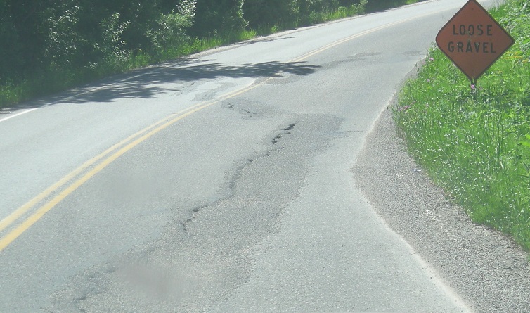
Road slump danger - found on many of the narrow roads in sloping areas.
The bridge under the Burlington Northern railroad track - the turn on to Hwy 49 from Hwy 2
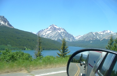
Lower Two Medicine Lake on Hwy 49 - Spot Mountain in the background - - hill side road.
Hwy 49 twists
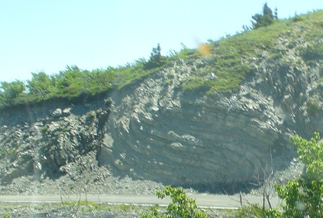
Interesting geology - folded and twisted rock.
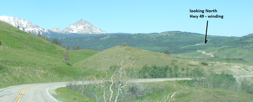
About half way to St. Mary the road became Hwy 89 continuing on North.
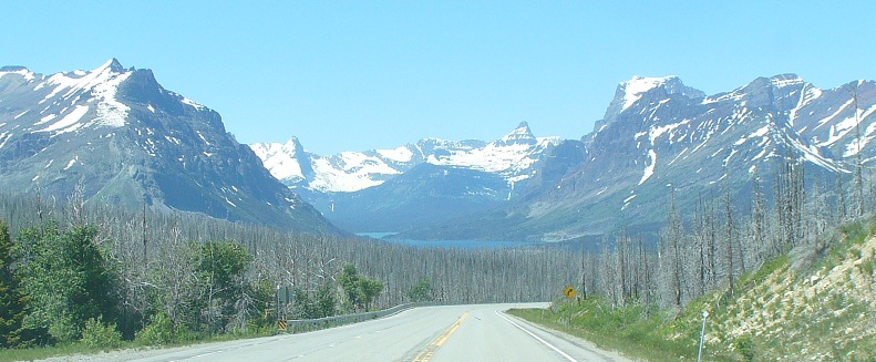
There was a serious forest fire some time in the past - on Hwy 89 South of St. Mary
St.Mary Lake in background
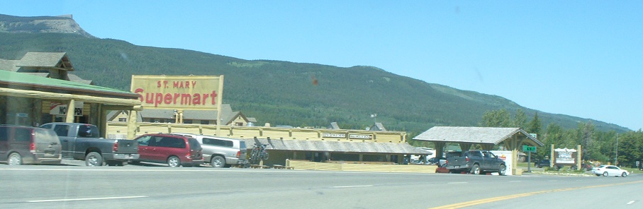
The town of St. Mary - turn left after the green sign toward the Park entrance.
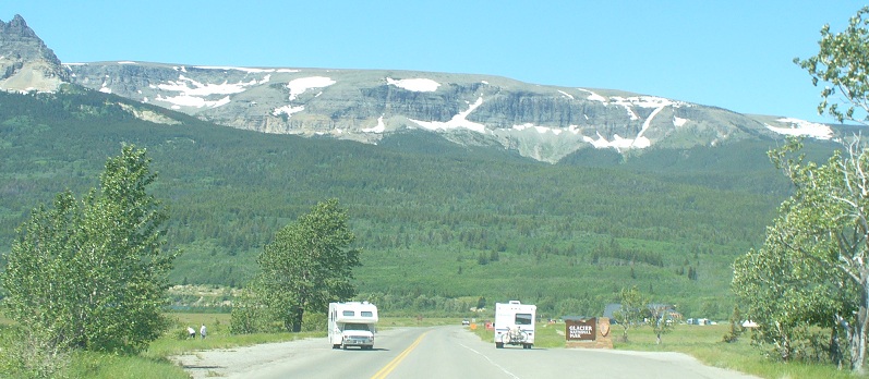
St. Mary entrance to E. Glacier National Park
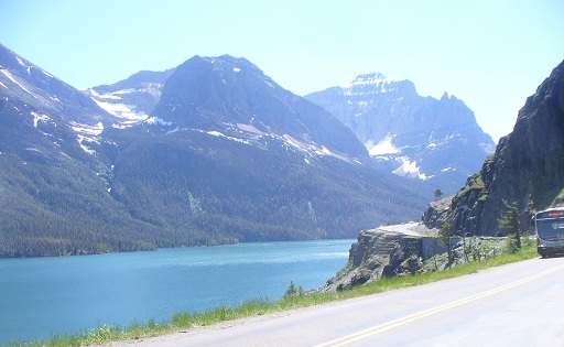
Going to the Sun road -
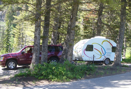
Set up camp at the Going to the Sun campsite
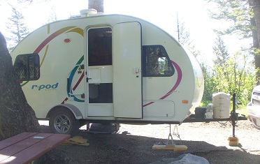
slope was steep fore and aft - so we had to shim the stabelizer with 2x12 pieces
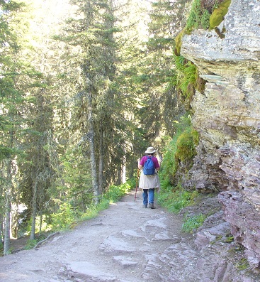
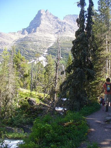
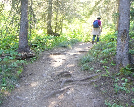
The trail might have been short - but there was a considerable change in elevation
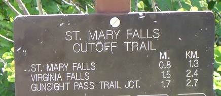
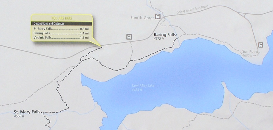
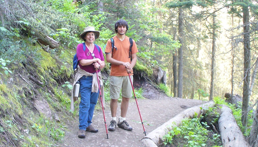
Hiked the St. Mary River Falls trail
-
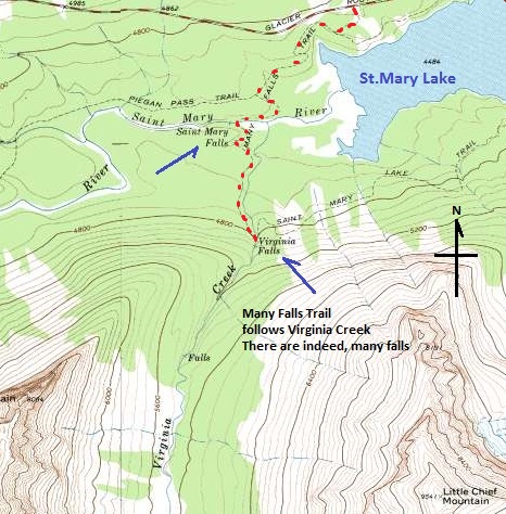
From looking at this map I am sure we hiked to Virginia Falls.
The pictue of the first big falls was St. Mary Falls.
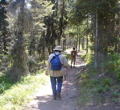
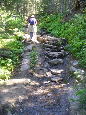
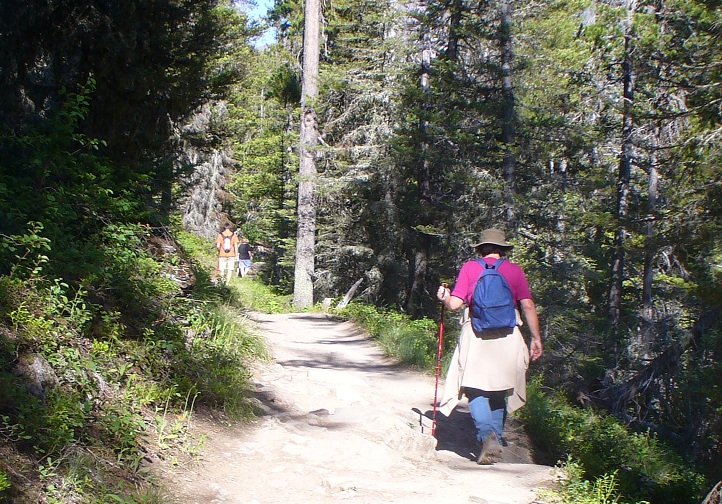
After a steep drop from the roadside trailhead it leveled off to a much more gentle slope
as it headed toward the bridge crossing the St. Mary River.
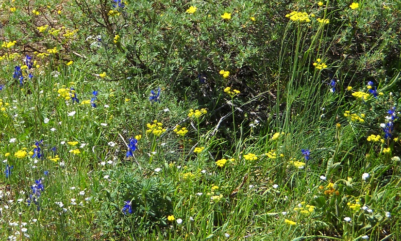
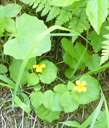
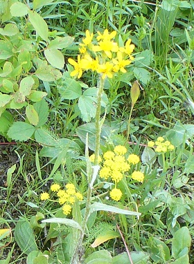
Where there is an opening in the forest there are flowers.
(There are different flowers deep in the forest.)
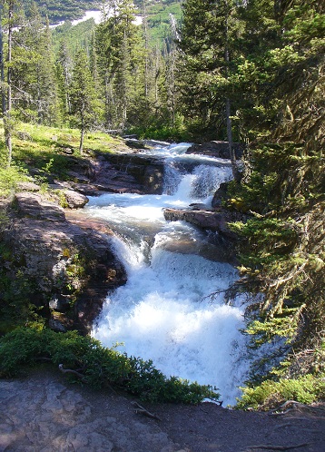
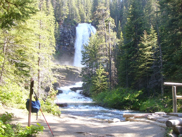
St Mary River Falls, the first big falls on the St Mary (or Many Falls) trail
 -
- 
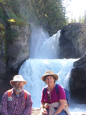
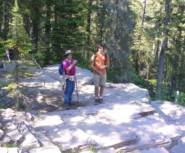
Gerard and Mona by St. Mary Falls - the trail going up Virginia Creek past the St Mary Falls
 -
- 
Yellow flowers in forest shade
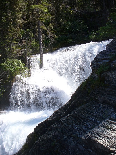
More evidance that the creek is much above normal flow (excess snowpack this year.)
The tree does not grow in the rushing stream. This is an unusual situation.
-
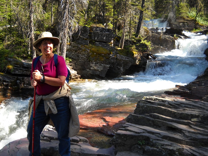
Mona above St Mary Falls by a cascade of smaller falls on Virginia Creek
 -
- 
Where the water comes from, way up the mountain - and how it comes rushing along
 -
- 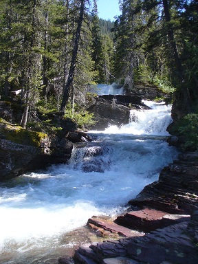
The trail goes up - and the water comes down
-
 -
- 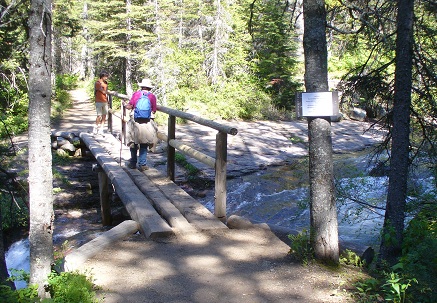
Sometimes the trail is not on rock... - bridge to view of Virginia Falls (also to other trail heading East)
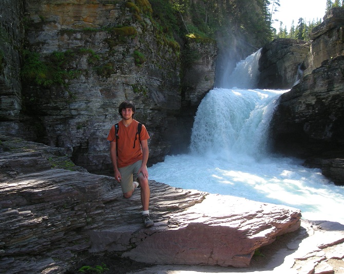
Virginia Falls
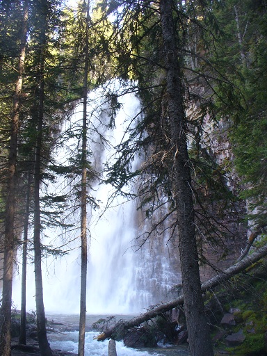
Virginia Falls closer
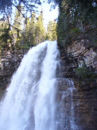

a closer and stitched together look of the Virginia Falls.
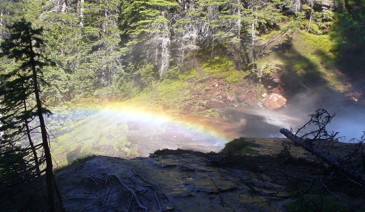
a permanent rainbow from mist coming from the Falls
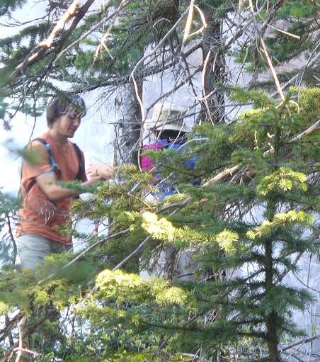
Joseph helping Mona - the ground is slippery at the base of the Falls
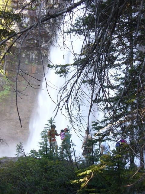
Some families brought small children.
Ready to return. 1.5 miles back... downhill... and a steep uphill at the end, back up to the road.
Nearly back to the trailhead. Joseph leading as usual.
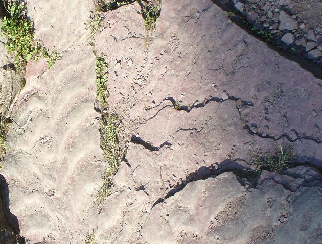
Near beginning of the trail the rock underfoot was interesting
Some show riffles that formed under water - on top of that a conglomerate (upper right corner of picture)
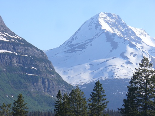
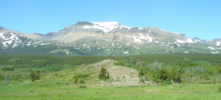
East Glacier peak
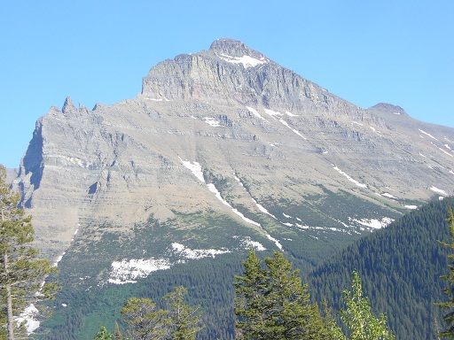
another East Glacier peak
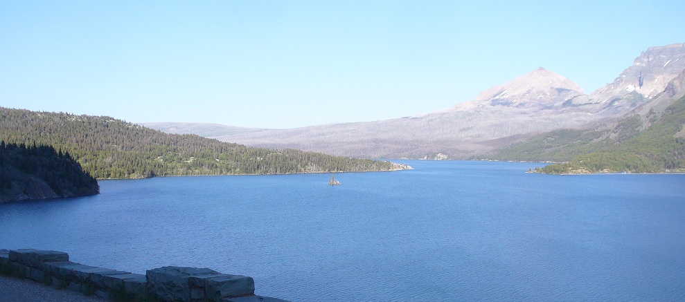
St Mary Lake - looking East later in the day
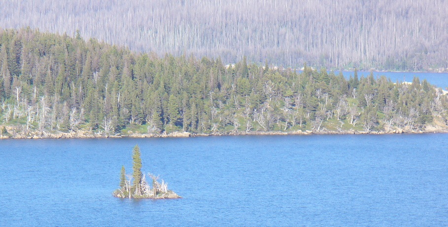
The little island looking East
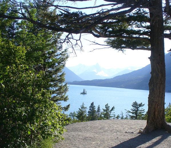
Same island - view looking West - picture taken from East side of lake
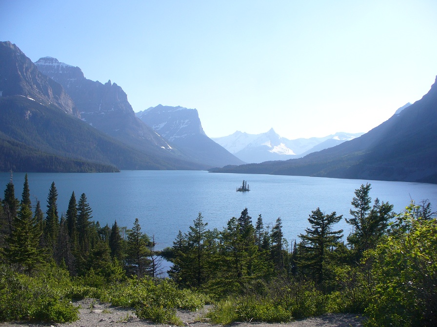
Another picture taken from East side of lake
~ ~ ~
Wednesday - - 6 July 2011
early in the day as we were leaving for our day trip to Waterton Lakes N. Pk in Canada
 -
- 
~ ~ ~
Waterton Lakes National Park, Canada 6 July 2011
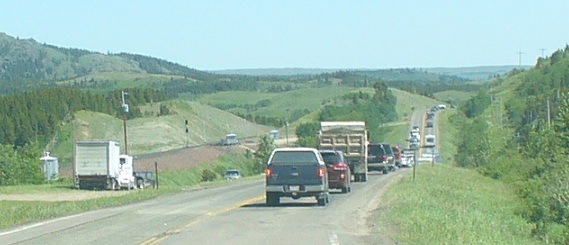
Browning, Montana - N. American Indian Days setup
from East Glacier to West Glacier - Apgar Campground - Rocky Point hike